


It’s land your state government has officially designated as likely to face bushfire attack. It doesn’t set your BAL. It means the bushfire building rules apply, and an assessment of your site decides which ones.
Is your home in a bushfire prone area?
Search your address on our free national map to see if it's in an officially designated bushfire prone area, and what that means for your next deck. Built from official state government data.
- Highest bushfire hazard
- Elevated bushfire hazard
- Designated bushfire prone area
- No official mapping
Hazard shading follows each state's own categories where they publish them (NSW, QLD, SA, VIC).
This map is a general guide only, based on official state government bushfire prone area data (retrieved September 2026). It is not a Bushfire Attack Level (BAL) assessment or planning advice. Always confirm with your local council or a building surveyor. Data © State of New South Wales (NSW RFS), State of Victoria, State of Queensland, Government of South Australia, Government of Western Australia, State of Tasmania and ACT Government, licensed under Creative Commons Attribution; restyled by WoodEvo. State boundaries © ABS.


BUILDING IN A BUSHFIRE PRONE AREA
Decking that's BAL-29 tested.
In a designated bushfire prone area, new homes, extensions and decks generally need to meet Australian Standard AS 3959 for the site’s Bushfire Attack Level (BAL). Your BAL is set by an assessment of your block, based on the vegetation, slope and distance to the bush around it.
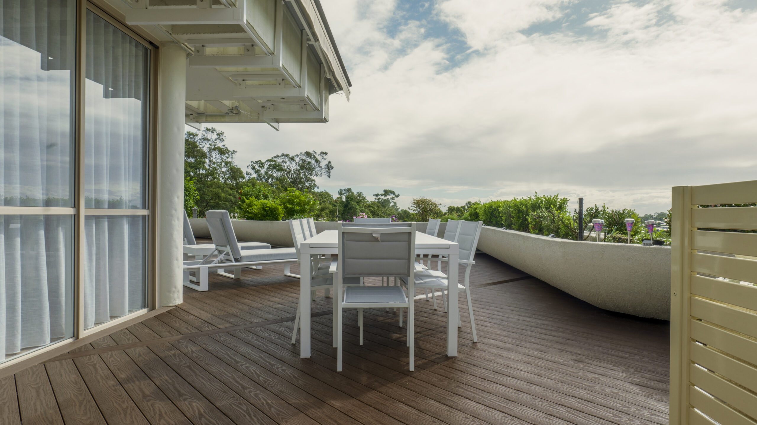
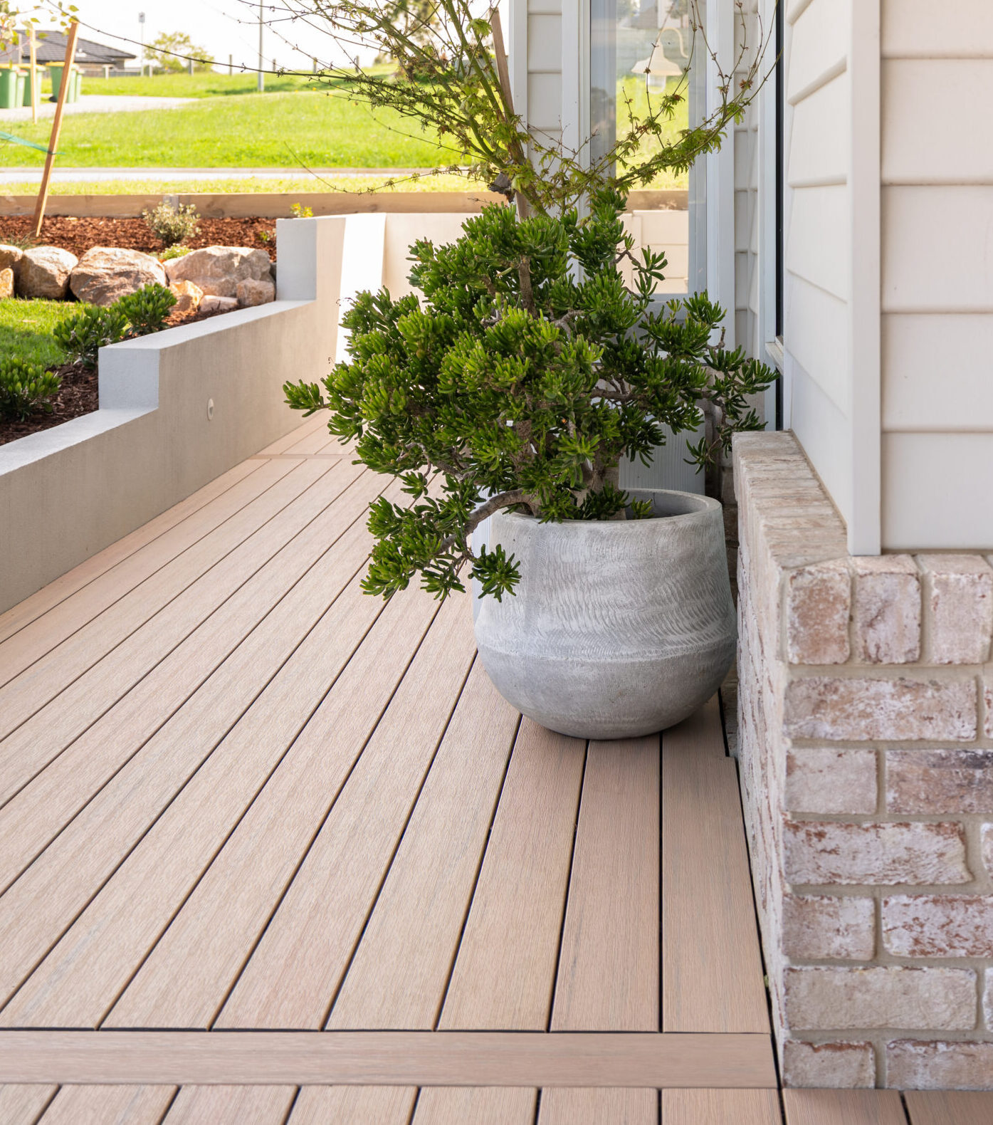
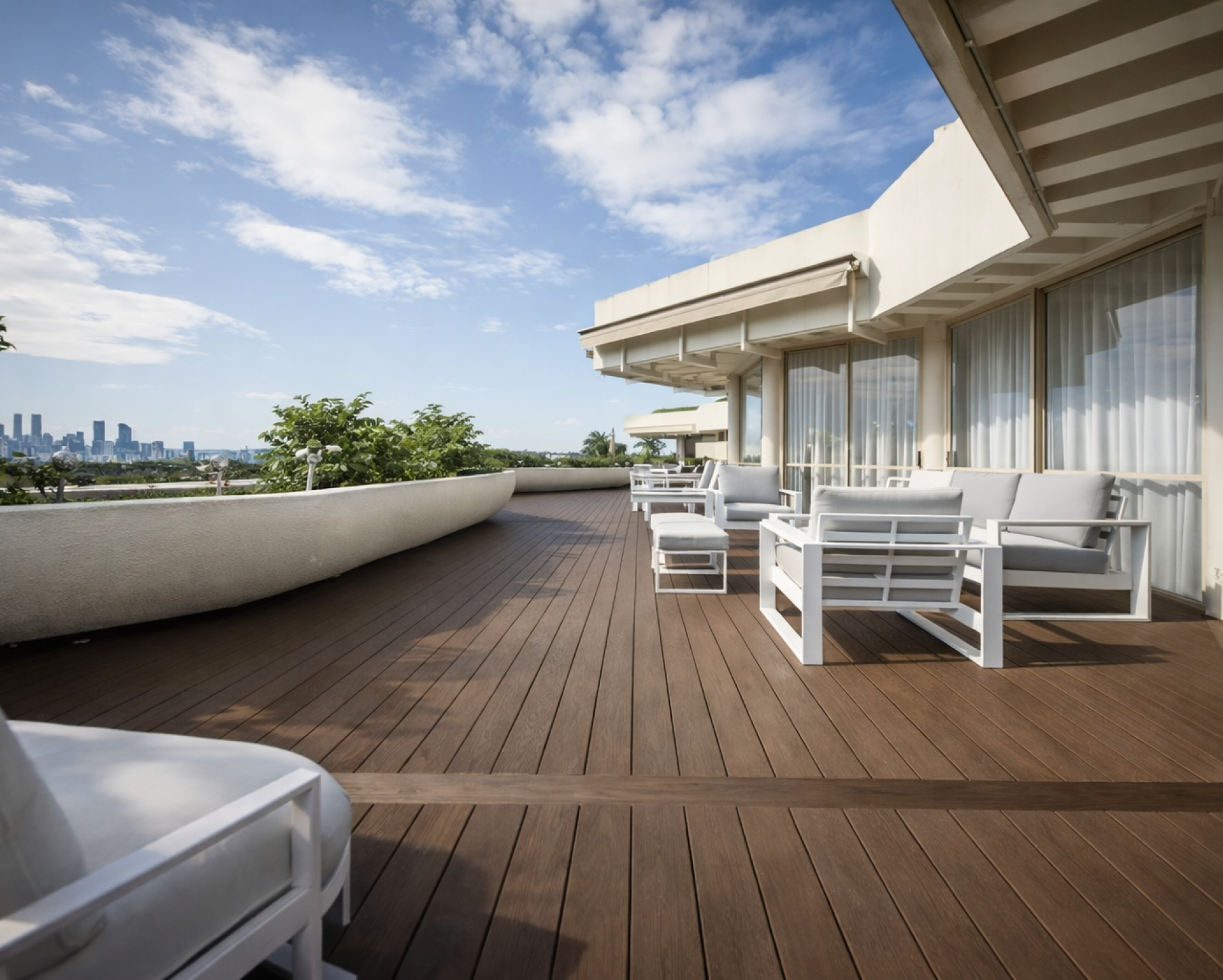
Both WoodEvo decking ranges, HOME and ADVANCED, are BAL-29 tested. Once you know your BAL, a WoodEvo Accredited Installer can talk you through the right setup for your site.
Always confirm your site's BAL and construction requirements with your building surveyor.
What is a bushfire prone area?
Two decking ranges. Both BAL-29 tested.
Pick the look you love. Order a free sample, or find your nearest retailer.
Bushfire prone areas by state.
In NSW, councils map Bush Fire Prone Land and the NSW Rural Fire Service certifies it. Land is grouped by vegetation: Category 1 (forest, woodland and heath) is the highest risk, then Category 2 and Category 3 (such as grassland), each with a surrounding buffer. New homes, extensions and decks on bush fire prone land need to meet Planning for Bush Fire Protection and be built to the site’s BAL. You can check a property on the NSW Planning Portal, and it’s also shown on a Section 10.7 planning certificate.
Victoria has two layers. Designated Bushfire Prone Areas trigger building requirements, with a minimum BAL-12.5 for new homes. The Bushfire Management Overlay covers the highest-risk land and adds planning permit requirements. The maps are reviewed regularly, most recently in 2026. You can check your address on VicPlan.
Queensland’s State Planning Policy mapping, developed with CSIRO, shows potential bushfire intensity (very high, high and medium) plus a 100-metre impact buffer. Councils use it, along with their own bushfire hazard overlays, to decide where bushfire building requirements apply. Check your council’s planning scheme mapping or the Queensland Fire Department’s bushfire resources.
SA’s bushfire mapping sits in the Planning and Design Code as Hazards (Bushfire) overlays. Bushfire building requirements (the NCC, AS 3959 and SA’s Ministerial Building Standard MBS 008) apply in the High, Medium, General and Urban Interface areas. The Outback and Regional overlays are precautionary and don’t have a rated hazard, which is why they’re greyed out on our map. Check your property on the SA Property and Planning Atlas.
WA’s Map of Bush Fire Prone Areas is designated by the Fire and Emergency Services Commissioner and updated regularly. Building in a designated area generally needs a BAL assessment under AS 3959, and planning proposals are assessed under the state’s bushfire planning policy. Check the official Map of Bush Fire Prone Areas.
Tasmania maps bushfire-prone areas through an overlay in the Tasmanian Planning Scheme. Under Tasmania’s building rules, land within 100 metres of 1 hectare or more of bushland can also count as bushfire-prone, even if it isn’t mapped. Check LISTmap, and speak with your building surveyor.
The ACT publishes a Bushfire Prone Area map, and building work in these areas needs to meet bushfire construction requirements for the site’s BAL. Check your block on ACTmapi.
The NT doesn’t currently publish designated bushfire prone area mapping, so it’s shown as not mapped. Your building certifier can advise whether bushfire construction requirements apply to your project.
Bushfire prone areas, explained.
A bushfire prone area is land that a state or territory government has officially designated as being subject to, or likely to be subject to, bushfire attack. The designation switches on extra building requirements under the National Construction Code, so the same home or deck can need different materials and construction depending on where it is built.
No. The map shows whether an area is designated bushfire prone. Your Bushfire Attack Level (BAL) is specific to your block and is worked out by an assessment under Australian Standard AS 3959, based on the vegetation, slope and distance to the bush around your site. Two homes on the same street can have different BALs.
Often, yes. In a designated bushfire prone area, bushfire construction requirements can apply to decks and other structures associated with a home, not just the house itself. Your building surveyor or certifier can confirm exactly what applies to your project.
Both WoodEvo decking ranges, HOME and ADVANCED, are BAL-29 tested. Once you know your site’s BAL, your installer or building surveyor can confirm the right product and construction for your deck.
The map is built from each state and territory’s official bushfire prone area data, and address searches check the live government data wherever it is available. It is still a general guide only. Maps are reviewed and updated over time, so always confirm with your local council or a building surveyor before you build.
Not necessarily. The map shows official designations, not every local hazard, and designations change as maps are reviewed. Your council or building surveyor can confirm whether any bushfire requirements apply to your site.
A BAL assessment is usually carried out by a qualified bushfire consultant, and your building surveyor or certifier can advise what your project needs. Many councils also publish guidance on building in bushfire prone areas.
Grey areas have no official bushfire prone area mapping we can show. The Northern Territory doesn’t publish designated bushfire prone area mapping, and South Australia’s outback and regional precautionary overlays don’t have a rated bushfire hazard. In those areas, check with your building certifier.
From each state and territory government: the NSW Rural Fire Service, the Victorian Government, the Queensland Fire Department, PlanSA, the WA Fire and Emergency Services Commissioner, the Tasmanian Planning Scheme and the ACT Government. The data is published under Creative Commons Attribution licences and has been restyled by WoodEvo. Hazard shading follows each state’s own categories where they publish them.
Building in bushfire country?
Talk to a WoodEvo Accredited Installer about BAL-29 tested decking for your site.